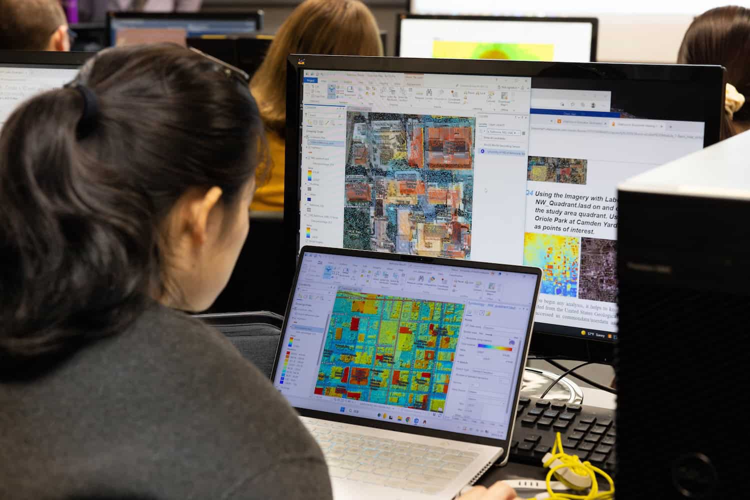
Program Overview
The Bachelor’s in Geographic Information Science program is designed to serve students who wish to prepare for careers in the more technical aspects of applied geography, including the fields of geographic information systems (GIS), remote sensing, computer cartography, city and/or regional planning, economic geography, resource utilization, and land use analysis.
Primed for problem solvers and critical thinkers, this major in GIS is excellent preparation for the demands of the modern workforce and further graduate studies, leading to dynamic careers in applied geography, research, or teaching.
Why Choose This Program?
- Learn how maps, spatial data, and geospatial tools help answer questions about people, places, environments, and systems.
- Build skills in GIS, remote sensing, cartography, and more to understand patterns, relationships, and change.
- Prepare for technical, in-demand career paths by developing applied skills for careers in planning, public service, logistics, and more.
Curriculum & Coursework
The GIS curriculum combines geography, technology, and data analysis to help students understand and solve real-world problems through location-based information. Coursework includes cartography and visualization, GIS, remote sensing, GIS programming, database development, quantitative methods, field technology, and advanced GIS applications, along with experiential learning through field courses, Education Abroad, internships, or other applied opportunities.
Sample Courses:
- GE 415 Quantitative Methods in Geography
- GE 325 Cartography and Visualization
- GE 224 Field Methods and Technology in Geography
Career Paths & Outcomes
A degree in geographic information science (GIS) prepares students to turn location-based data into meaningful insight for communities, organizations, and industries. Graduates can pursue careers that support decision-making in areas like environmental management, urban development, transportation, public service, business, research, emergency response, and more.
Common Career Paths:
- GIS Analyst
- Remote Sensing Specialist
- Cartographer
- Urban or Regional Planner
- Land Use Analyst
- Environmental GIS Specialist
- Geospatial Data Analyst
- Transportation or Logistics Analyst
Student Experience
There are many ways to get involved on campus as part of the geoscience department. You’ll experience hands-on learning in small classes with dedicated faculty, plus find opportunities to connect with others who have shared interests, like the Geography Club.
Opportunities include:
- Geography Club
- Gamma Theta Upsilon Society, an international honors society in geography
- Project Earth Club
- Local internships, i.e., NASA (Huntsville), planning agencies, Alabama EPA, state soil and water offices
Meet the Faculty
Dr. Emmanuel Ackom
Assistant Professor and Sustainability Program Coordinator
eackom@una.edu
Dr. Matthew Balentine
Assistant Professor, Experiential Learning Coordinator, and Geography Club Advisor
mdbalentine@una.edu
Dr. Gregory A. Buckley
Professor
gbuckley@una.edu
Dr. Jian Chen
Associate Professor, Graduate Coordinator, GIS Lab Coordinator
jchen18@una.edu
Dr. Mario A. Mighty, GISP
Associate Professor, Department Chair, and Director of the Freddie Wood Geographic Research Center
mmighty@una.edu
Dr. Melissa M. Moore
Professor
mmmoore@una.edu
Dr. Michael Pretes
Professor
mjpretes@una.edu
Dr. Sunhui (Sunny) Sim, GISP
Professor and Undergraduate Coordinator
ssim@una.edu
Dr. Kazi Ullah
Assistant Professor
kullah@una.edu